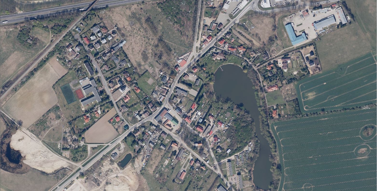
An orthomosaic is a photogrammetrically orthorectified image product mosaicked from an image collection, where the geometric distortion has been corrected and the imagery has been color balanced to produce a seamless mosaic dataset. The Orthomosaic wizard provides a common workflow for generating ortho image mosaics from the adjusted image collection.
The objective of orthophoto generation is, therefore, to eliminate any distortions owing to camera tilt and ground relief, thereby maintaining the scene/image’s actual dimensions. Orthophoto generation requires georeferenced photos and a Digital Surface Model (DSM). The accuracy of the orthophotos depends, to a very large extent, on the vertical accuracy of the DSM.

Use of orthophoto maps in agriculture is to determine the land degradation. The solution of land degradation detection and reduction is to take a set of several important activities in order to successfully combat land degradation and these orthophoto plays an important role .
The basic principle of Seamless Stereo-orthoimage Database is based on stereo orthophoto pair. Orthoimage has seamless characteristic and can generate a seamless orthoimage database
True Ortho eliminates all the parallax distortion that appears in regular orthographic images, providing an obstruction-free view for accurate measurement. True Ortho images consistently align between captures within accuracy specifications. Due to the absence of building lean, high rise features don't block the view of ground surfaces allowing a clear view of roads and ground features in the area surrounding these objects