GIS is a powerful tool used to organize analyse and disseminate geospatial data. It Integrates different types of data ,allowing it to be organized into layers of information that can be used to create effective visual representations and enable deeper insights
As an emerging technology itself, the field of geographic information systems (GIS) is constantly evolving. Over a span of twenty years, members of the geographic information community have seen this technology evolve from command line, workstation-based software to tools that can now be used in the cloud and via mobile devices.
This is probably the most asked question posed to those in the Geographic Information Systems (GIS) field and is probably the hardest to answer in a succinct and clear manner. GIS is a technological field that incorporates geographical features with tabular data in order to map, analyze, and assess real-world problems. The key word to this technology is Geography – this means that some portion of the data is spatial. This means that the data is in some way referenced to locations on the earth. Coupled with this data is usually tabular data known as attribute data.

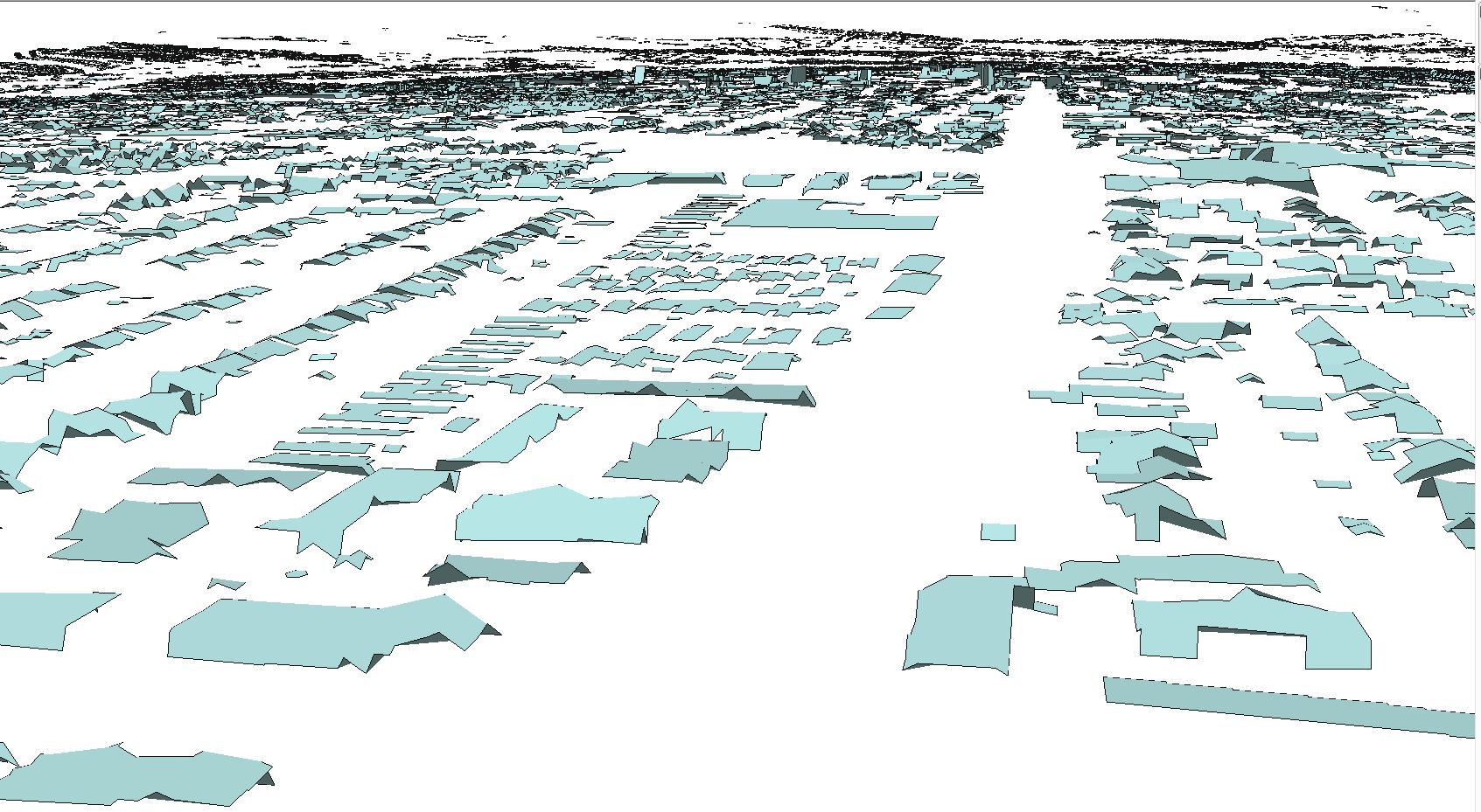
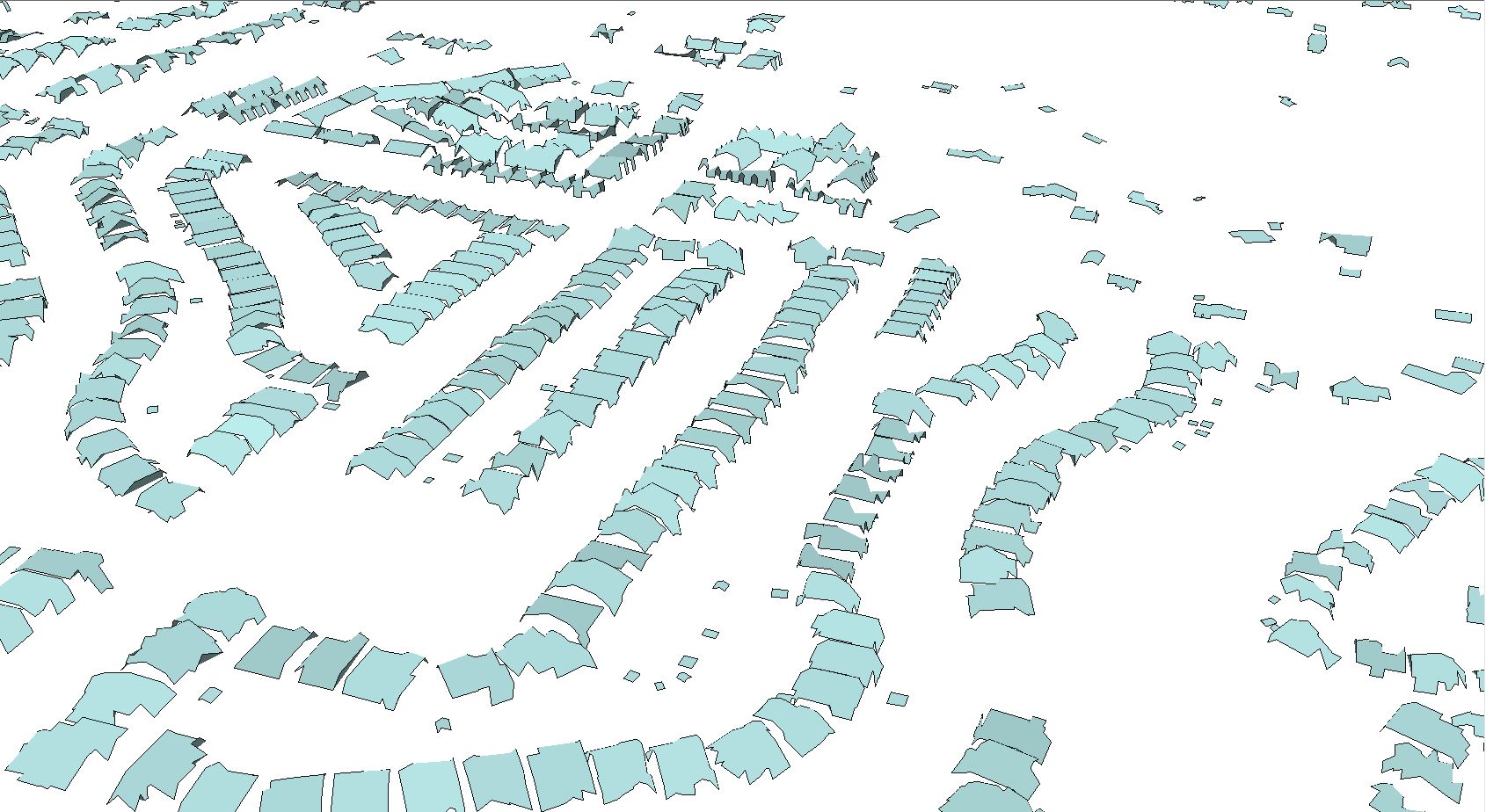
This project was aimed at Creating 3D mesh polygons for Buildings with the reference of Point Cloud at an Total Area _365 Sq. km
This project was aimed to classify the Building properties and separation for road networks at an Total Area_700 Sq. km
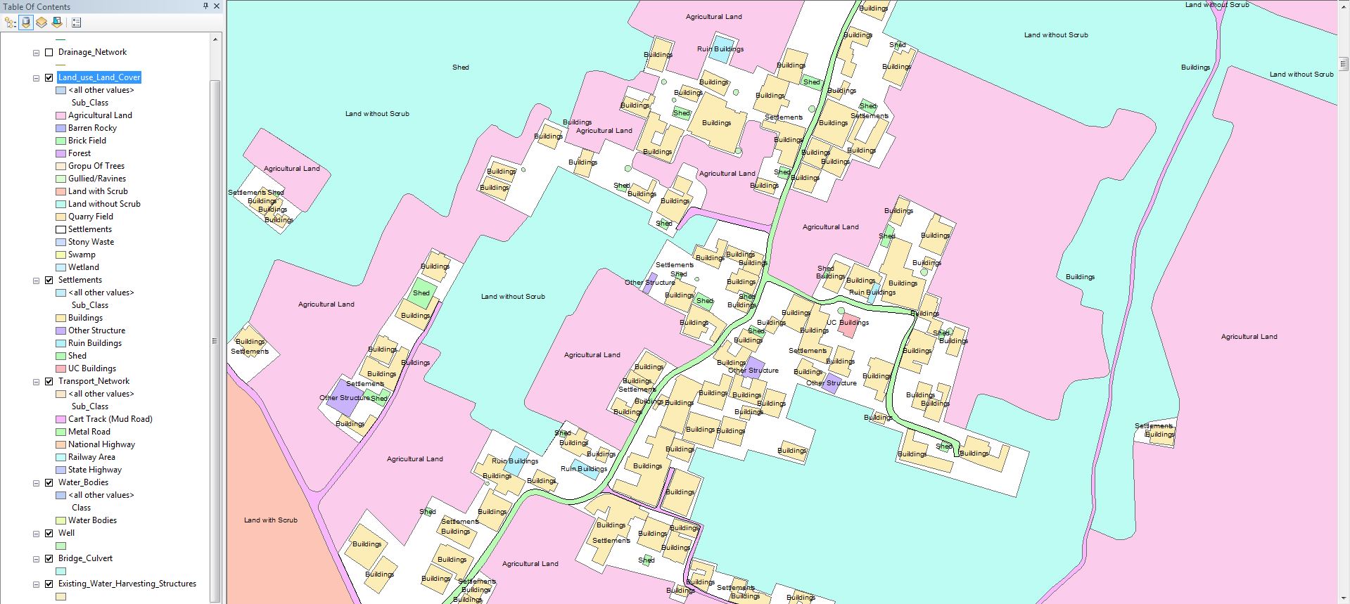
This project was aimed at Creating of Landuse nad landcover maps with attribute informations for an Total area_270 Sq.km
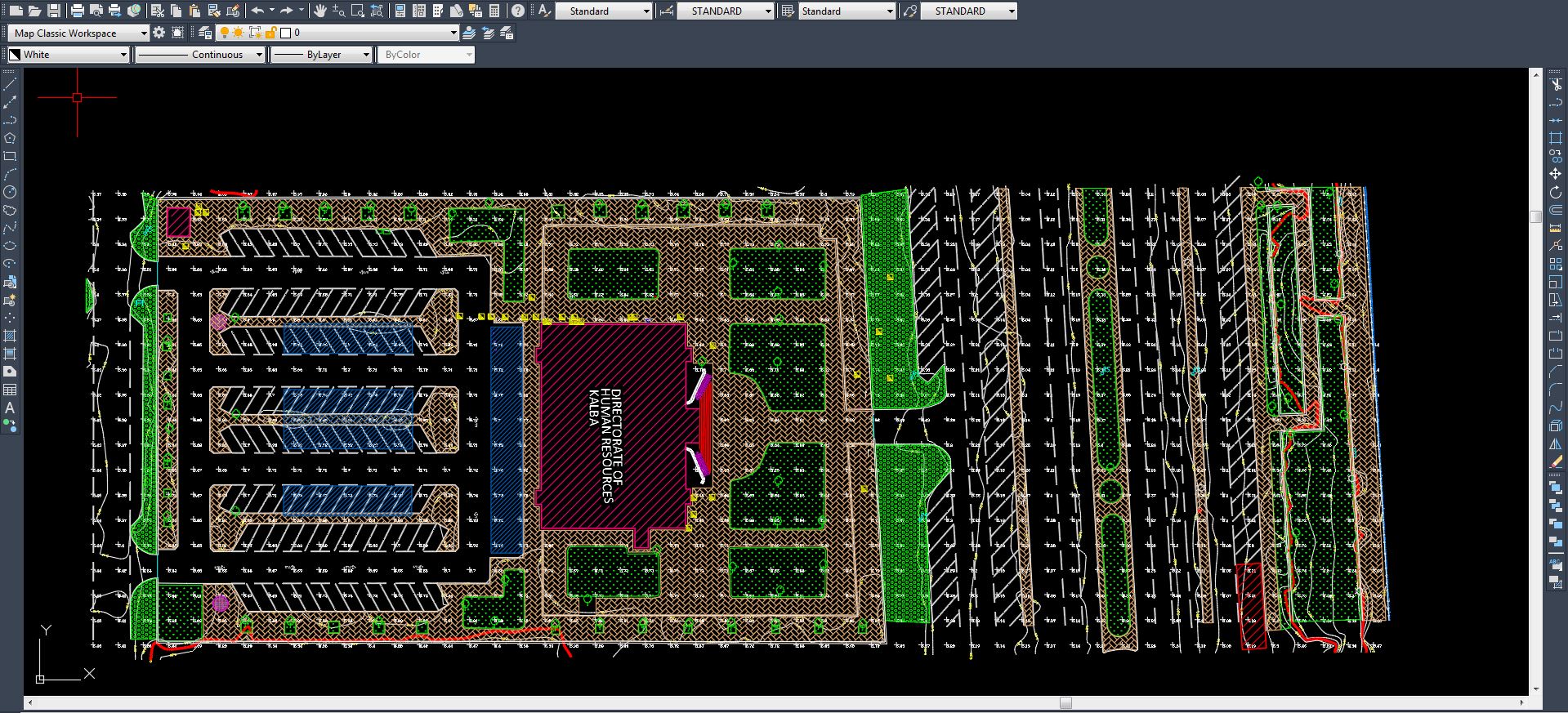
This Project was aimed at Creation of AS build diagram for municipality for the purpose drainage management for an Total area_45 LKM
This project was aimed at Creation of topographic maps with reference mobile Lidar point clouds for an Total ARea_65 LKM
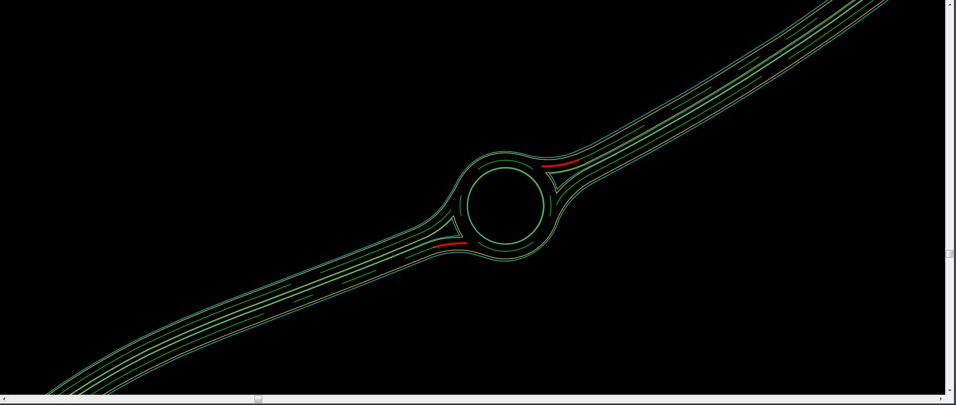
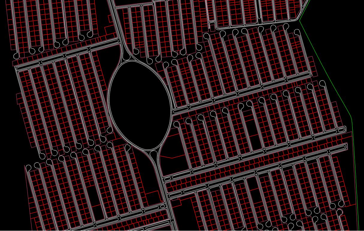
This project was aimed at Proposing railway alignments to upgrade the transportation for an Total area_680 LKM
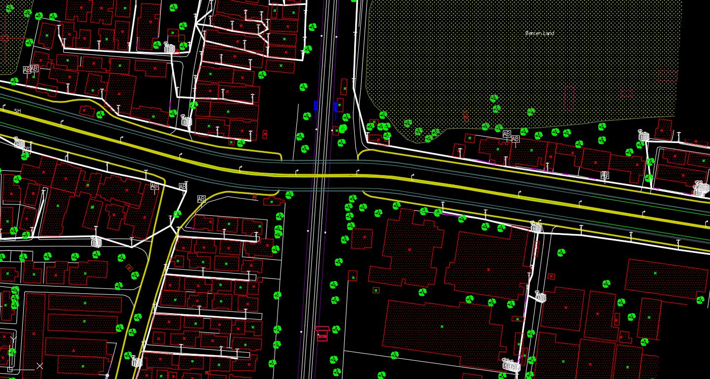
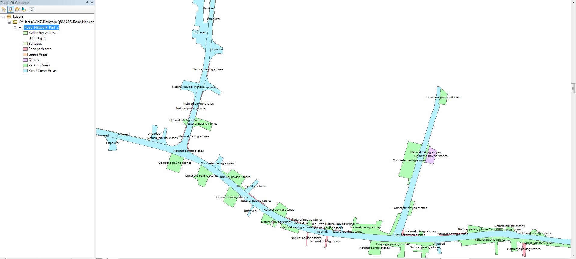
This was aimed to Classify different kind of roads based on their surface properties for an area of 200 LKM
This project was aimed for the Creation of road topo with UAV clouds for an Area of 12 Sq. km
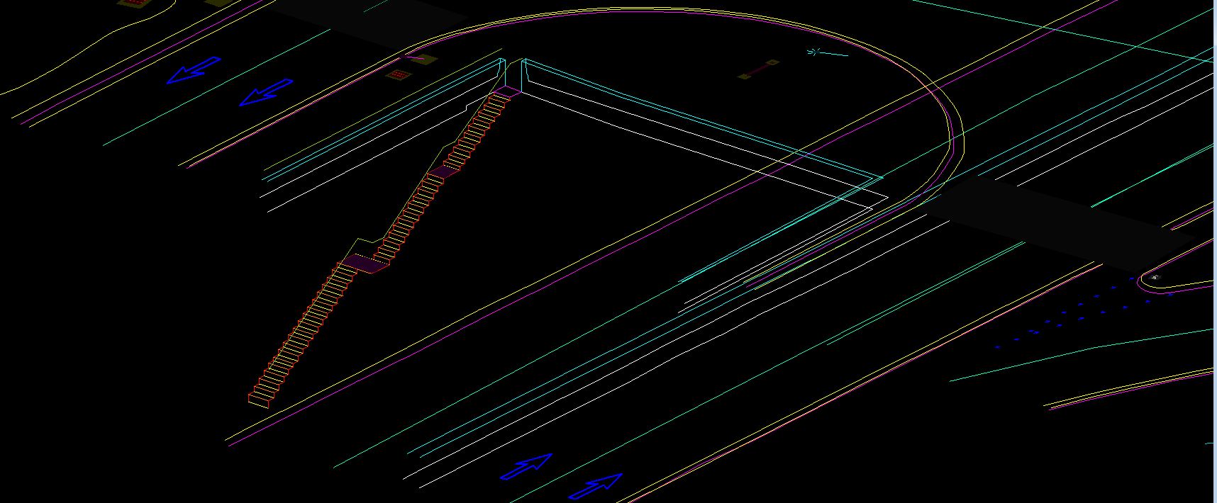
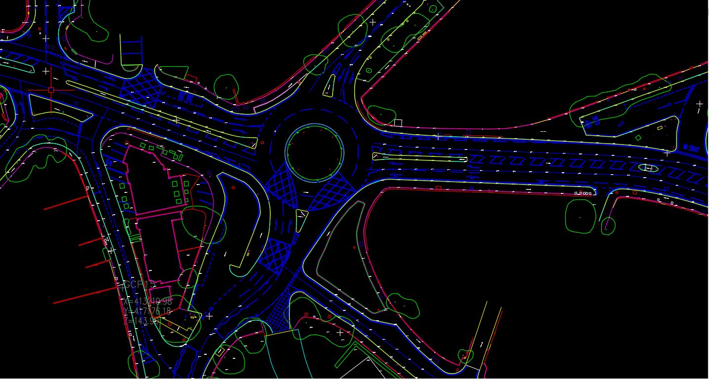
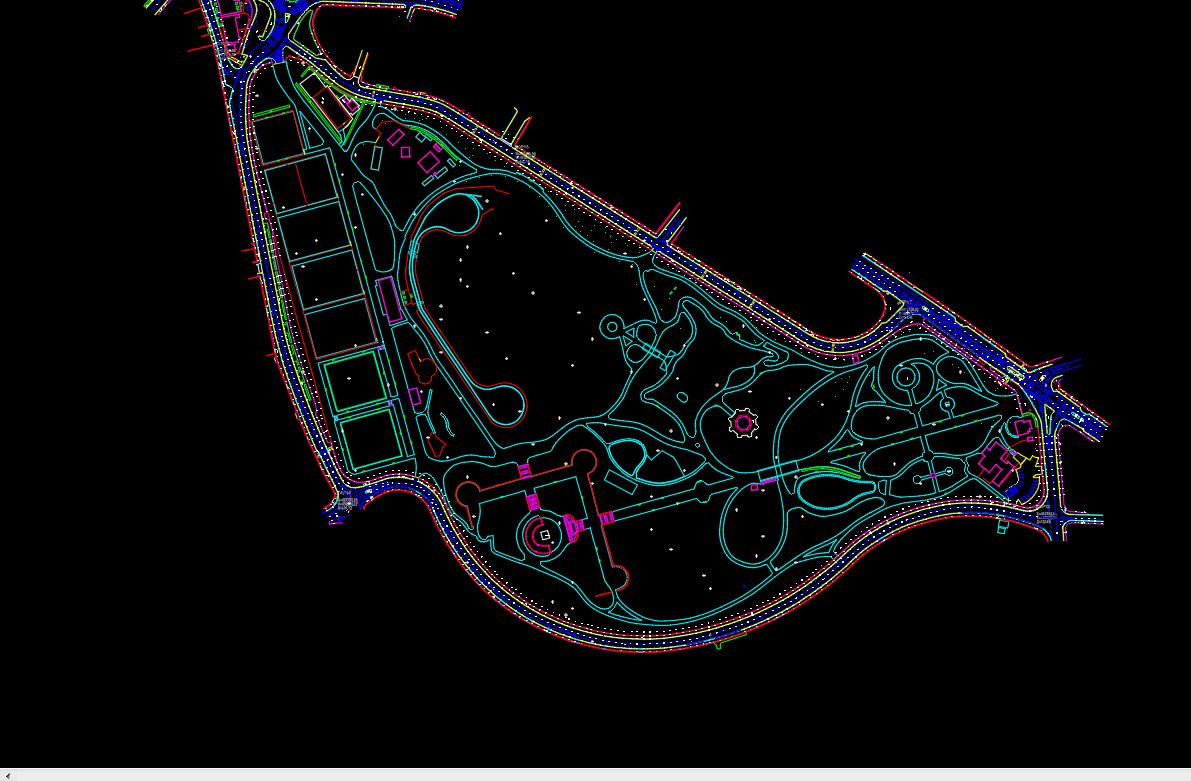
This project was aimed at Creating 2D vector road map with markings for an Total Area_ 900 LKM